Our Maps
The actual print resolution is much finer than shown online.
Click on thumbnail for larger image.
For information about availability, contact : 
|
|
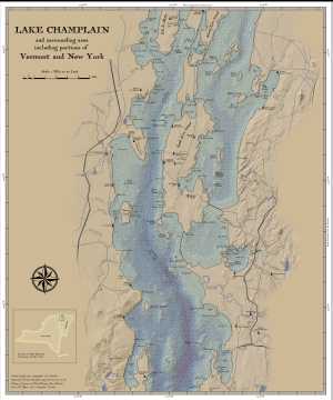
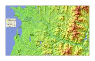
A map of Lake Champlain with modern data using a cartography
style inspired by maps from the 1700's.
(click on map for map excerpts)
30" wide x 36" high
Price: $45
(plus shipping and handling)
Map can be printed on large format paper or on fabric. Final paper size depends on the size border desired.
The map on display at Hunger Mountain Co-op in Montpelier (April 2019) was printed on
Organic Cotton Sateen Ultra (size 36" wide x 56" high to allow for hemming).
For maps printed on fabric, please allow up to 4 weeks for processing.
|
|
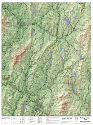
Fishing access sites in north central Vermont.
30" wide x 40" high.
Price: $45
(plus shipping and handling)
Map can be printed on large format paper or on fabric. Final paper size depends on the size border desired.
The map on display at Hunger Mountain Co-op in Montpelier (April 2019) was printed on
Organic Cotton Sateen Ultra (size 36" wide x 56" high to allow for hemming).
For maps printed on fabric, please allow up to 4 weeks for processing.
|
|
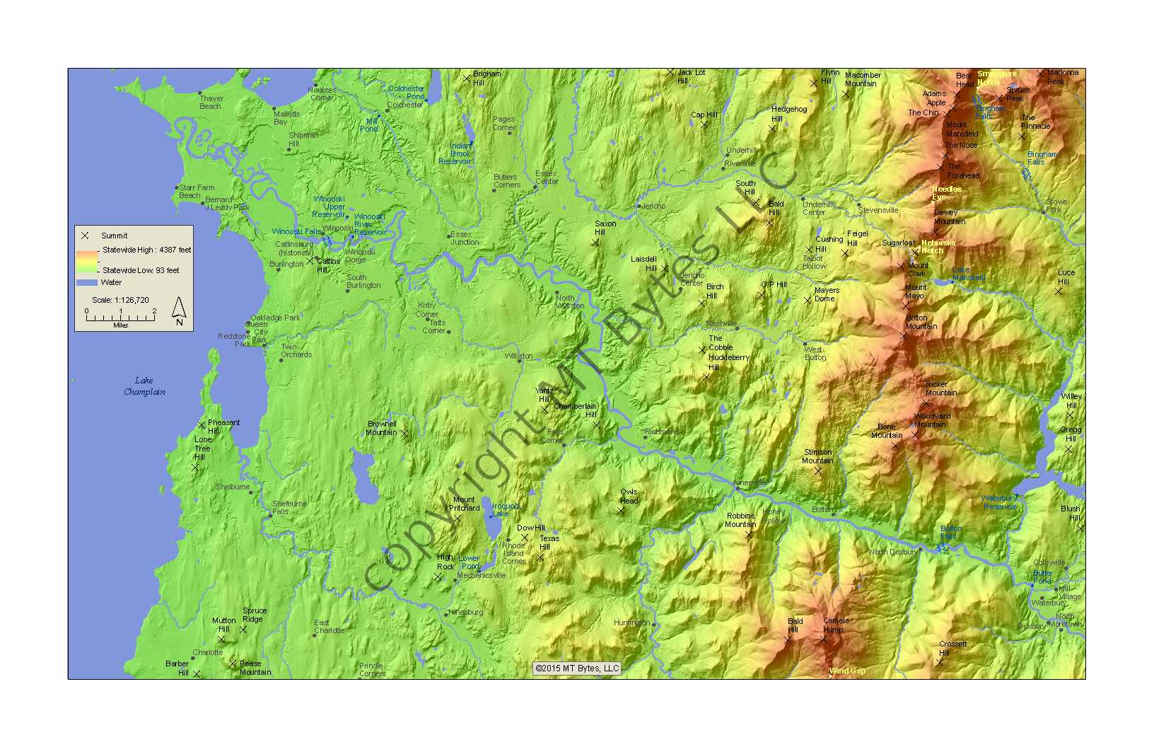
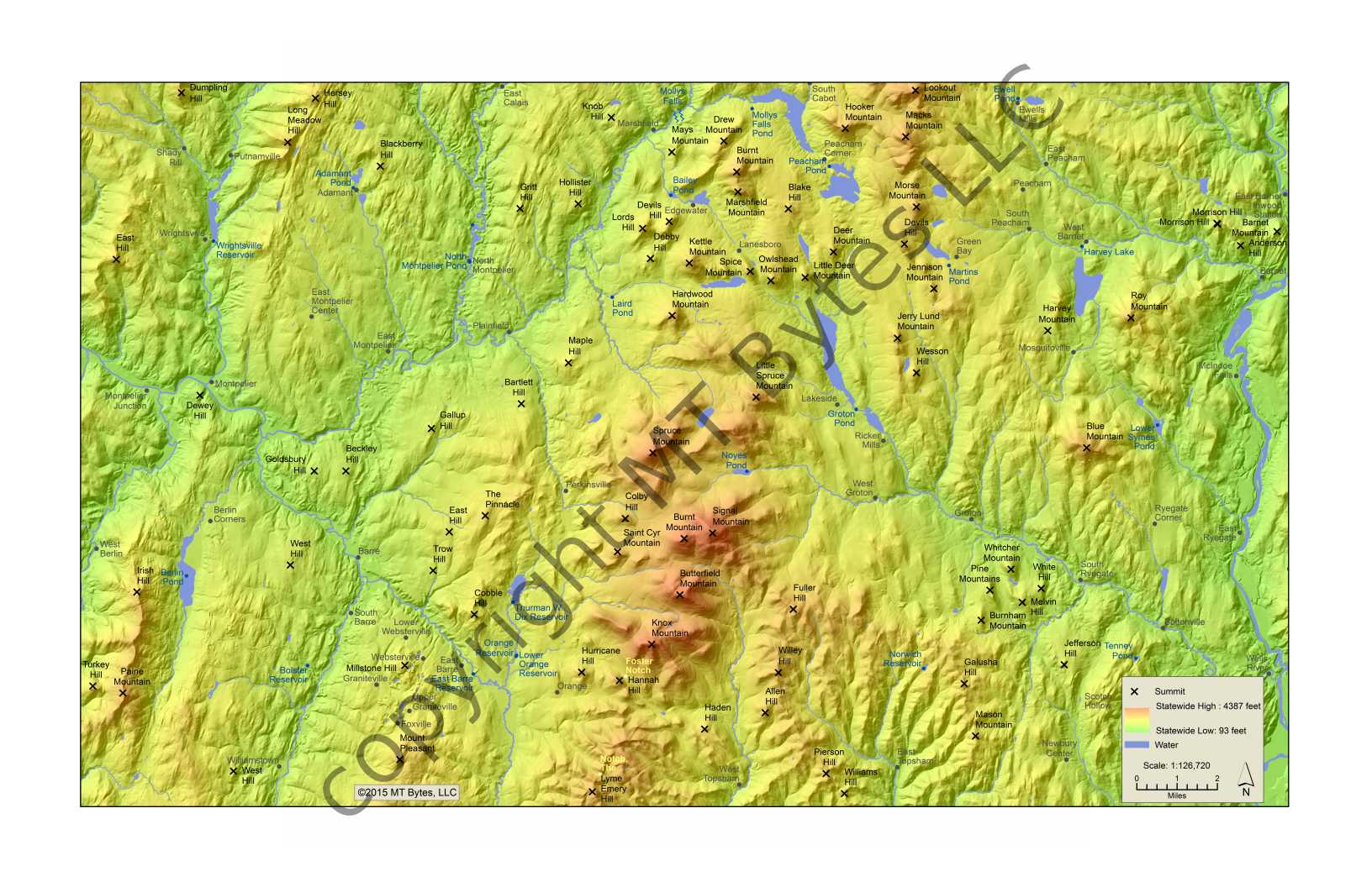
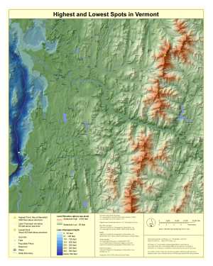
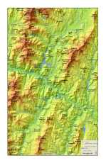
Highest and lowest spots in Vermont.
(click on map for map excerpts)
24" wide x 30" high
Price: $45
(plus shipping and handling)
Map can be printed on large format paper or on fabric. Final paper size depends on the size border desired.
For maps printed on fabric, please allow up to 4 weeks for processing.
|
|
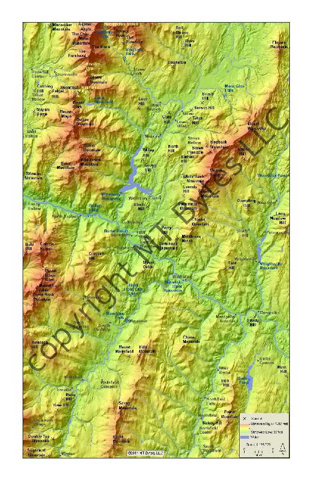
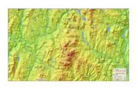
Hills and valleys of Montpelier, Vermont and the surrounding area.
28" wide x 38" high
Price: $45
(plus shipping and handling)
Map can be printed on large format paper or on fabric. Final paper size depends on the size border desired.
The map on display at Hunger Mountain Co-op in Montpelier (April 2019) was printed on
Organic Cotton Sateen Ultra (size 36" wide x 56" high to allow for hemming).
For maps printed on fabric, please allow up to 4 weeks for processing.
|
|
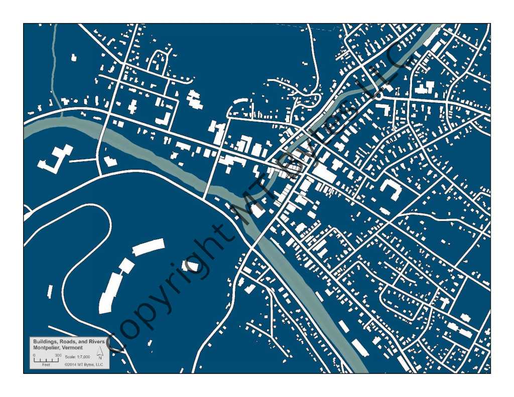
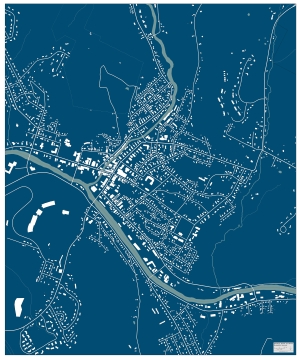
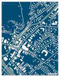
Buildings, rivers and roads in Montpelier, Vermont.
30" wide x 36" high
Price: $45
(plus shipping and handling)
Map can be printed on large format paper or on fabric. Final paper size depends on the size border desired.
The map on display at Hunger Mountain Co-op in Montpelier (April 2019) was printed on
Organic Cotton Sateen Ultra (size 36" wide x 56" high to allow for hemming).
For maps printed on fabric, please allow up to 4 weeks for processing.
|
Small Maps
Small maps are $20 each.
They can be printed on paper or fabric. Types of paper are: matte, luster, and polar pearl metallic.
The fabric is 100% cotton.
|
 |
 |
 |
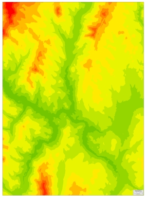
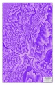
Montpelier Hills
color scheme d
printed size: 11" x 17" or 13" x 19"
|
Montpelier Hills
discrete color
printed size: 11" x 17" or 13" x 19"
|
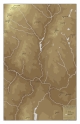
Montpelier Hills
monochrome brown
printed size: 11" x 17" or 13" x 19"
|
|
|
|
 |
 |
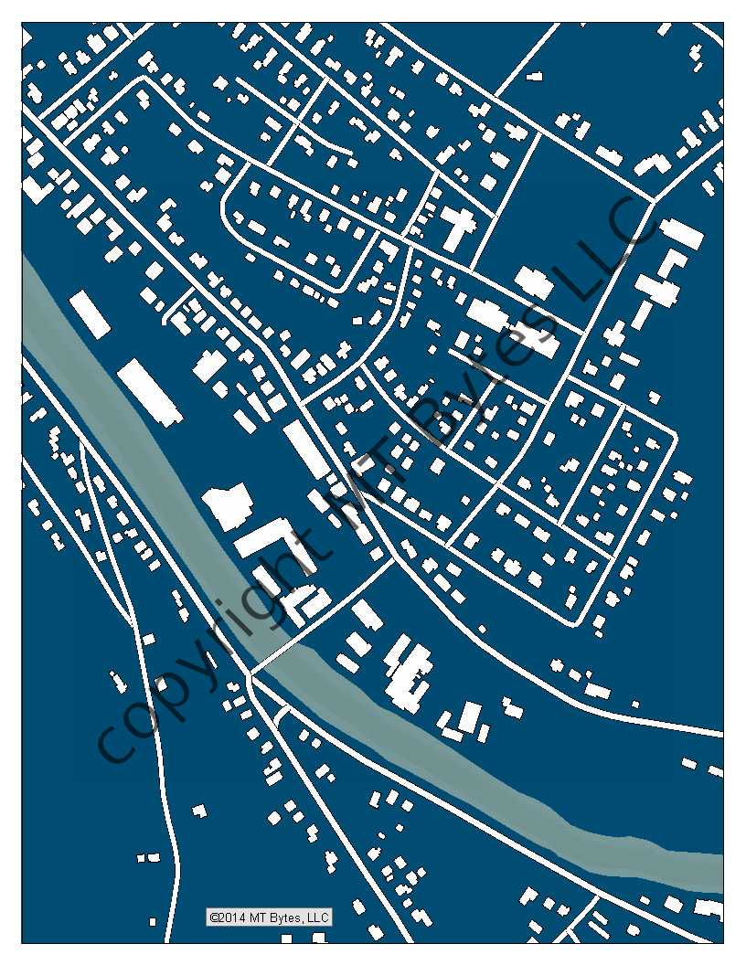
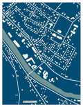
Buildings, Roads, and Rivers
Montpelier, Vermont
printed size: 8.5" x 11"
|
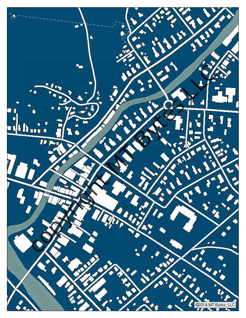
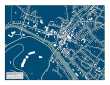
Mystery Map Series
Montpelier #1
printed size: 8.5" x 11"
|
Mystery Map Series
Montpelier #2
printed size: 8.5" x 11"
|
|
 |
 |
 |
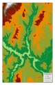
Summits
Camels Hump to Mount Mansfield
westward
printed size: 11" x 17" or 13" x 19"
|
Summits
Camels Hump to
Mount Mansfield eastward
printed size: 11" x 17" or 13" x 19"
|
Summits
Groton Area
printed size: 11" x 17" or 13" x 19"
|
|
* The maps are made using a geographic information system (GIS).
Much of the data is from the Vermont Open Geodata Portal.
Data is selected, customized, and crafted into a map using Esri ArcMap software.
After the maps are created in the software, they can be printed on a variety of media.
|